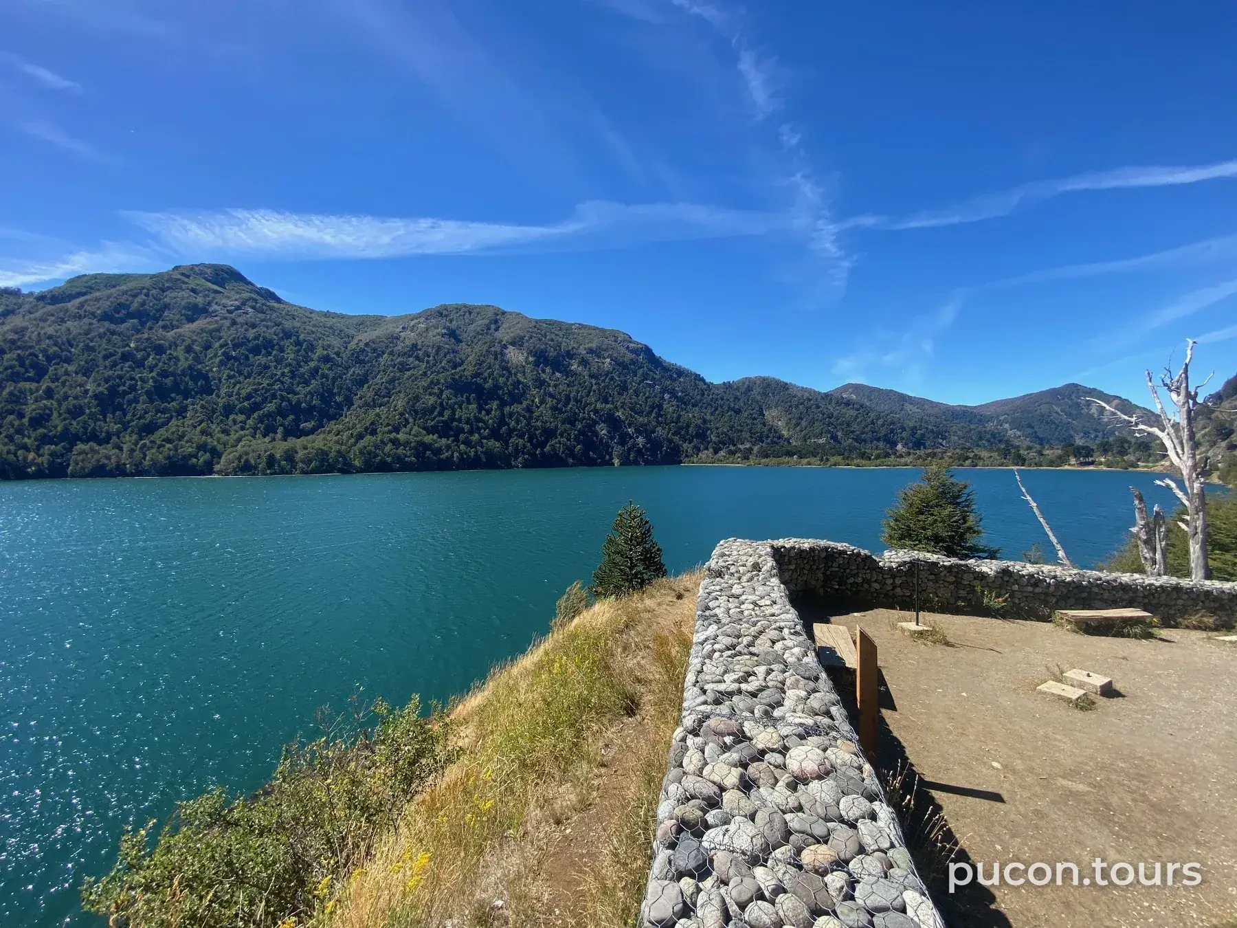

Villarrica National Park
In short
Created in 1940, it protects 53,460 hectares and the Villarrica and Quetrupillán volcanoes. From Pucón you reach its Rucapillán sector, where the crater route starts.
Where it is
- Area
- Villarrica Volcano and Palguín
- Town
- Pucón
- Protected area
- Parque Nacional Villarrica
-39.49310, -71.71680 · View on map · Source of the point (© OpenStreetMap contributors / Wikidata)
Today's conditions
-
Villarrica volcano: yellow technical alertCaution
In force since September 4, 2026 and unchanged as of October 21. Before heading to the volcano, check sernageomin.cl and senapred.cl, and confirm with CONAF or Pases Parques that climbs are allowed.
Checked October 21, 12:00 · Sernageomin · Not checked for more than 24 hours
Information from official sources, with the date of the last check. Confirm with the source before you go: pucon.tours informs, it does not guarantee conditions.
Nearby or similar
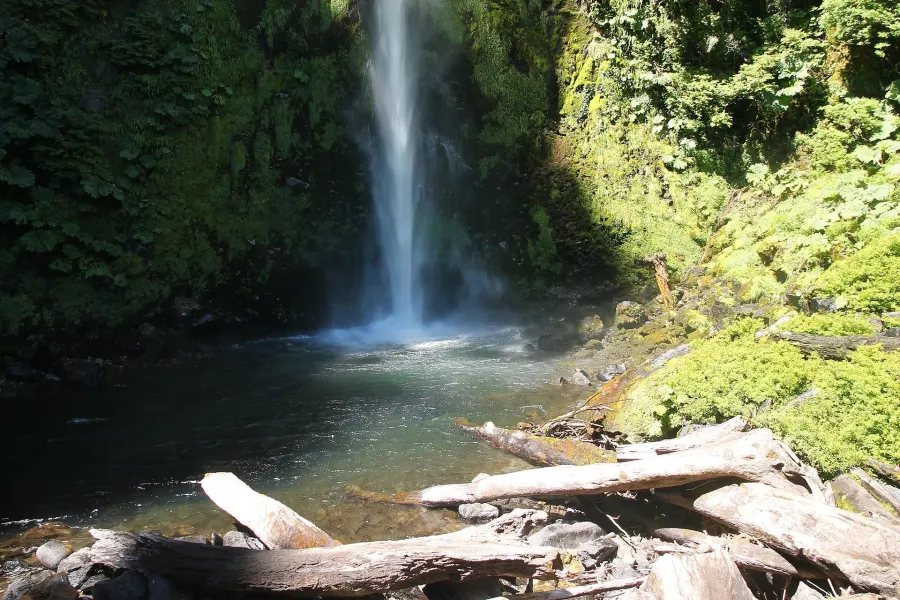 Photo: Draceane, CC BY-SA 4.0
La China Waterfall
A waterfall of about 80 m, some 30 km from Pucón in the Palguín area, with short trails and paid admission, according to...
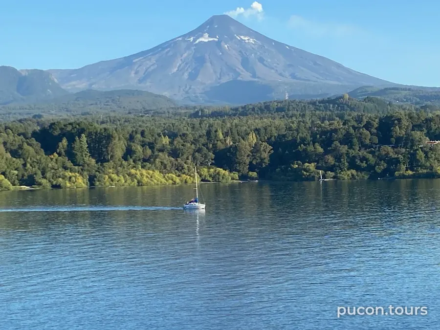
Villarrica Volcano
A 2,847 m stratovolcano inside Villarrica National Park, with a glacier at its summit. Check its alert level before head...
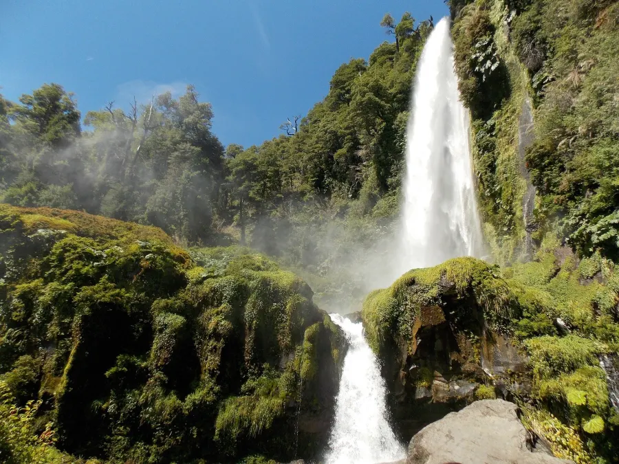 Photo: Carlos7252, CC BY-SA 3.0
El León Waterfall
A waterfall of about 92 m, some 32 km from Pucón via the Palguín turnoff, with trails and paid admission, according to t...